
Google Maps will begin to report limitations found on public transportation or suggested changes in street direction. A user will be informed through alerts, as well as being able to see predictions and recommendations of when stations or transfer points have fewer travelers.
When the transport option is clicked, a poster will be displayed, along with the route, which clarifies the level of occupation of the chosen means of transport in the transfer schedule entered in the Google application.
These new Google Maps updates and policies are available for both iOS and Android mobile phones. With this update, Google Maps adds a new collaboration to accompany all citizens in a return to the new normal after the passage of the pandemic.
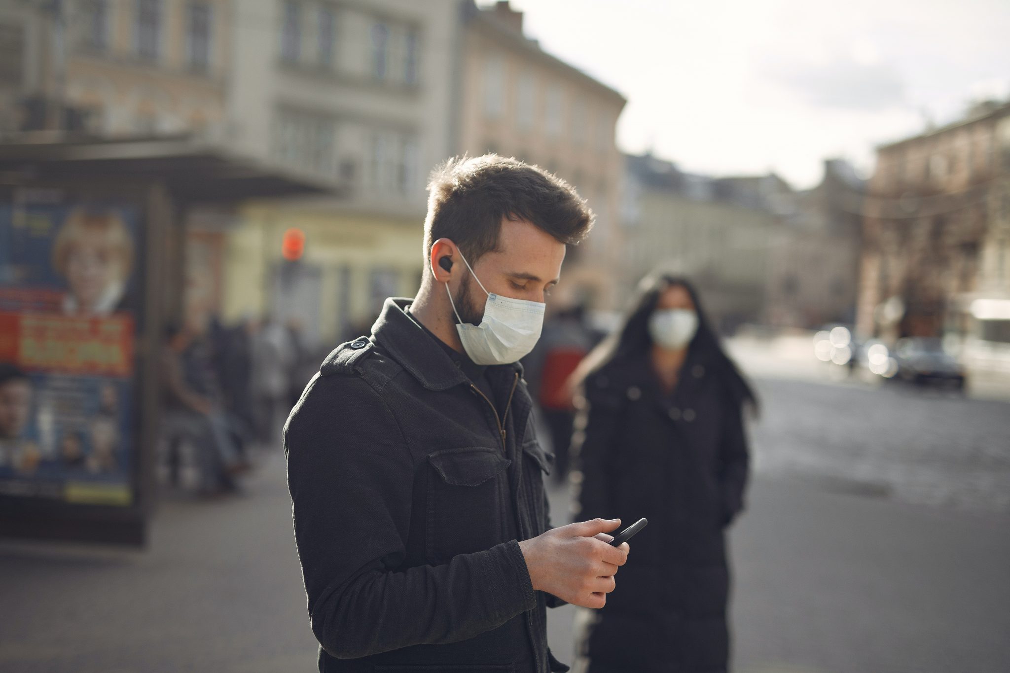
Additionally, users will be able to see if there are restrictions between towns or provinces, and if whether the area is regulated by the mandatory use of face masks.
Read More: Apple World Developers Conference
Google Maps: more updates
The functionality is already available in Argentina, Australia, Belgium, Brazil, Colombia, France, India, Mexico, the Netherlands, Spain, Thailand, the United Kingdom and the United States.
In addition, Google Maps will provide alerts of possible control points, and those users who search for health centers will be given recommendations to avoid saturating the health system.
Since 2019, Google Maps has had predictions regarding traffic jams and saturations in train stations and buses. Now, with this improvement, there is an opportunity for users to avoid peak crowds in order to take care of the health of citizens. Google Maps will begin to report more detailed information on transfer points and the times when there are typically fewer passengers. This will be calculated from estimates using the application history.
Another improvement of the application is that it will inform users of which stations are accessible for people with wheelchairs so that they can anticipate the safest routes.
Read More: Top Challenges in Software Application Development
https://www.youtube.com/watch?v=5SQdCcbKYq4


